Complete guide to Tunisia
Tunisia contains within 163,000 km² a diversity that few Mediterranean countries offer. Within three hours' drive from Tunis, our team takes you from the blue-washed alleyways of Sidi Bou Saïd to the Roman ruins of El Jem, whose amphitheater rivals the Colosseum. Further south, the landscape changes: the olive groves of the Sfax region, the oases of Tozeur and Nefta, then entry into the Sahara from Douz, where camel caravans still depart at dawn.
Four major regions structure a coherent itinerary. The north, around Tunis, Carthage and Bizerte, concentrates Punic and Roman heritage. Cap Bon and the Sahel, from Hammamet to Mahdia, line fine sandy beaches and fishing ports. The center-west, with Kairouan, Sbeïtla and Dougga, preserves successive layers of history, from imperial Rome to Arab dynasties. Finally the Saharan south, from the ksour of Tataouine to the dried-out chotts, offers a different pace, slower and more mineral.
The climate remains mild from October to May on the coast, scorching in July-August in the desert. For a first trip, allow ten to twelve days to combine medinas, ancient sites and a Saharan venture at a comfortable pace.
The regions of Tunisia
Each region has its own personality: climate, landscapes, pace of life and ways of traveling. Our local team helps you choose the combination that suits you.
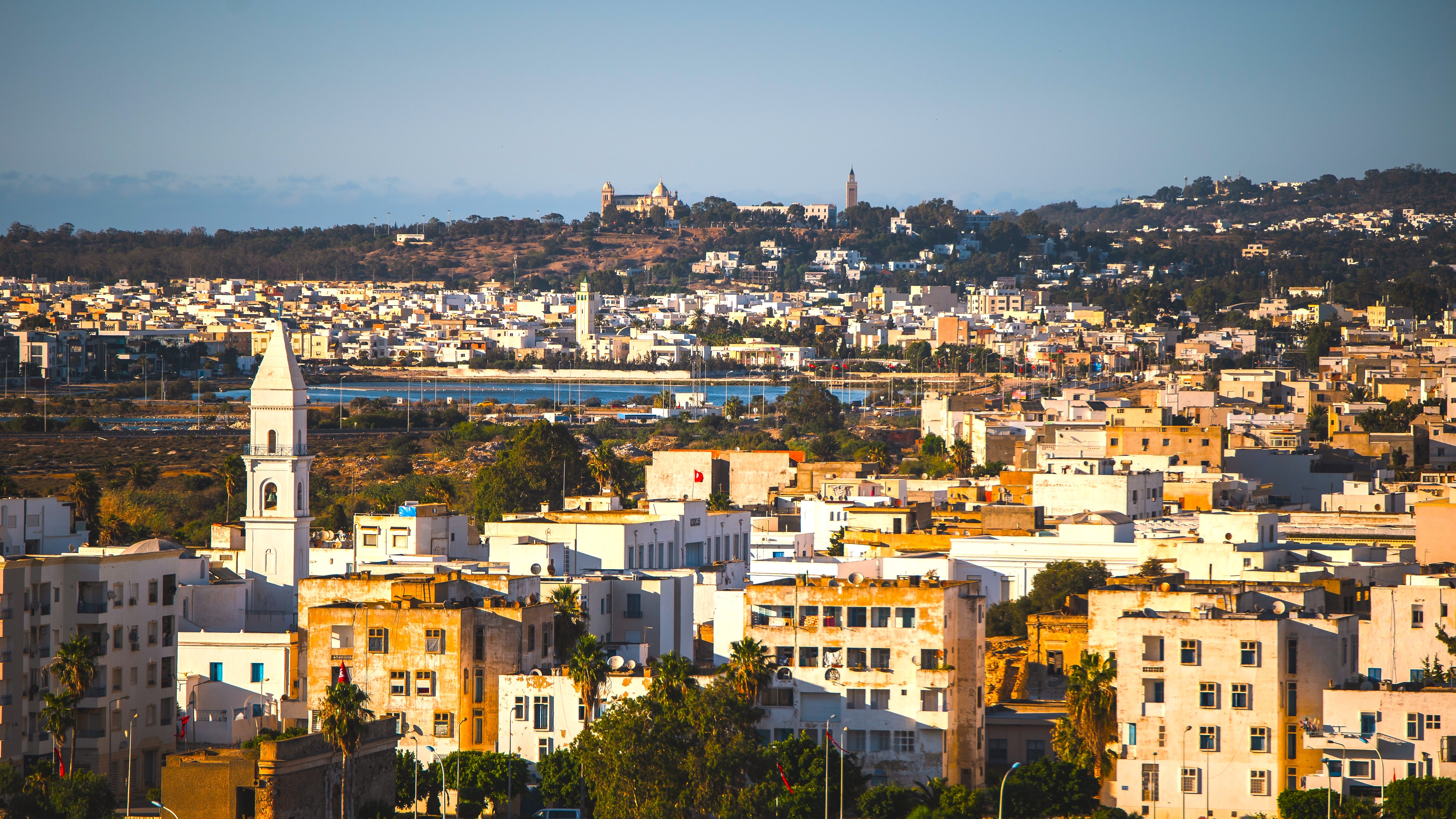
Tunis and Carthage
The capital and its coastal suburbs form the natural gateway to the country. Tunis's medina, a UNESCO World Heritage site, can be explored in a day between the Zitouna Mosque, covered souks, and palaces converted into cafés. Twenty minutes by TGM, the archaeological site of Carthage spreads across Byrsa hill, overlooking the gulf. Sidi Bou Saïd, just nearby, preserves its white and blue facades inherited from Baron d'Erlanger. Mild climate year-round, with winters around 12°C and summers tempered by sea breezes. Our English-speaking team launches most of our itineraries from here.
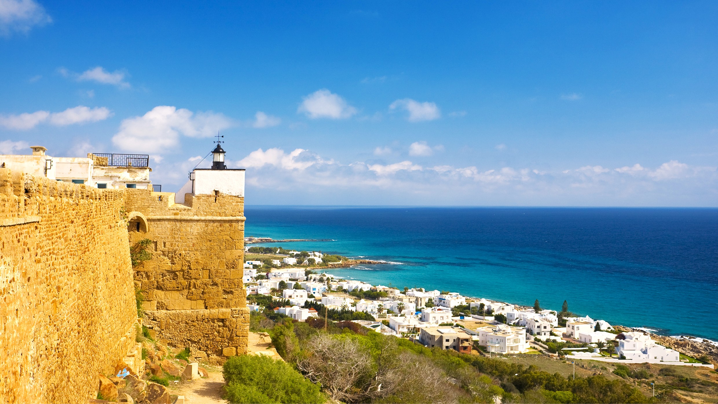
Cap Bon and Sahel
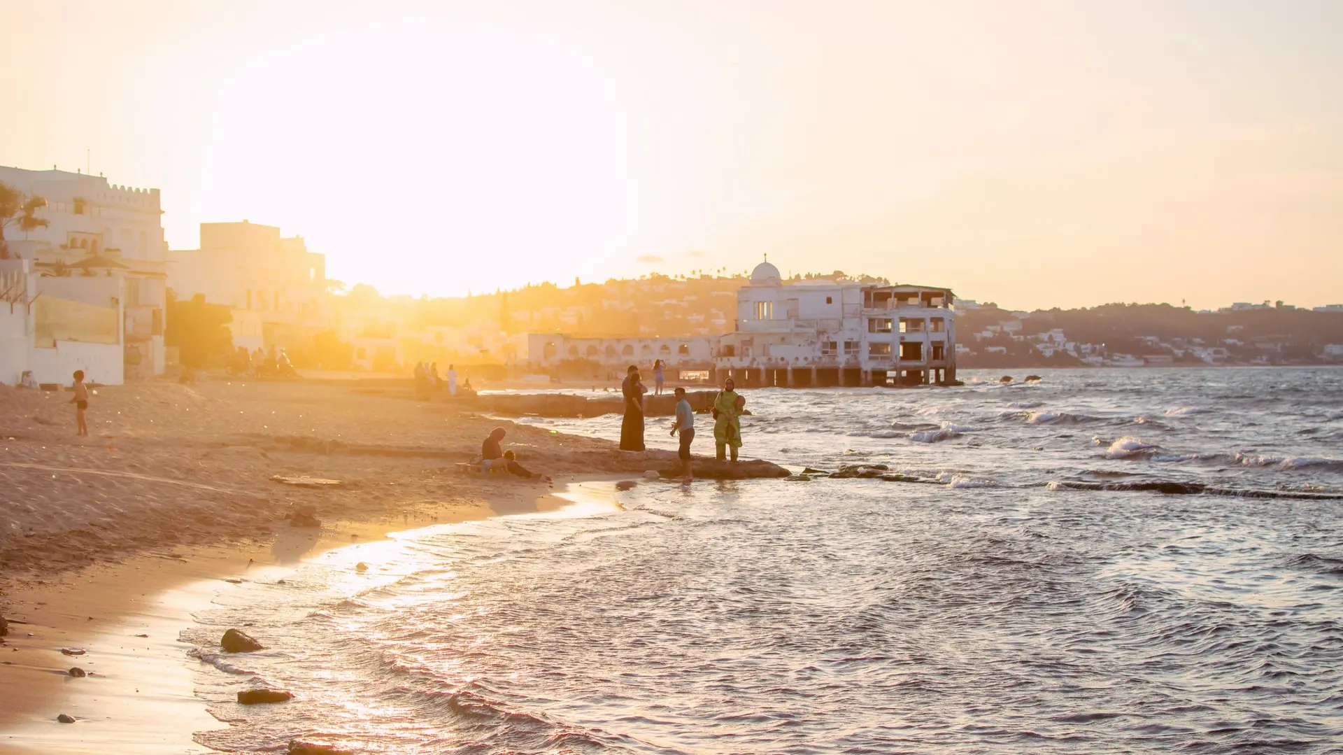
From Hammamet to Mahdia, the coast lines up beaches, fishing ports and olive groves. Kelibia and its fort overlooking the Strait of Sicily, El Haouaria and its Roman caves, then Nabeul renowned for its pottery. Further south, Sousse and its fortified medina, Monastir and its ribat, Mahdia and its net fishermen. This is where many Tunisian families spend the summer, the water exceeds 25°C from June to September. Outside the season, the archaeological sites of Pupput and Kerkouane can be visited almost alone.
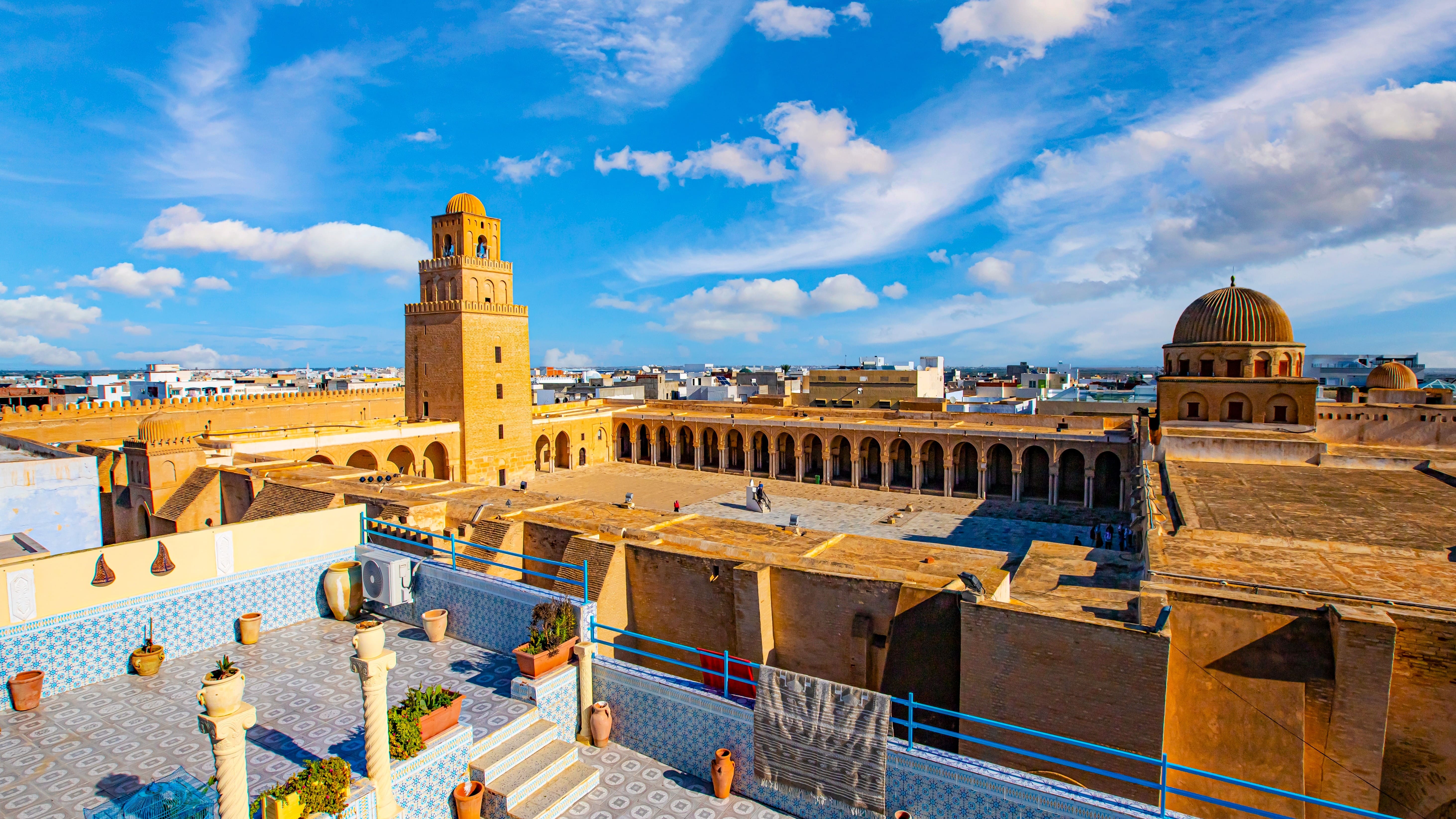
Kairouan and centre
Kairouan, the fourth holiest city in Islam, is home to the Great Mosque founded in 670 and a remarkable network of Aghlabid basins. To the west, the ruins of Sbeitla stand with their three Capitoline temples in the middle of the steppe. Dougga, further north, preserves one of the best-preserved Roman complexes in North Africa, with its intact theatre and capitol. The region can be traversed by car, allowing 2.5 hours between Tunis and Kairouan. Winters are cool and sometimes rainy, summers are dry and hot at 35°C.
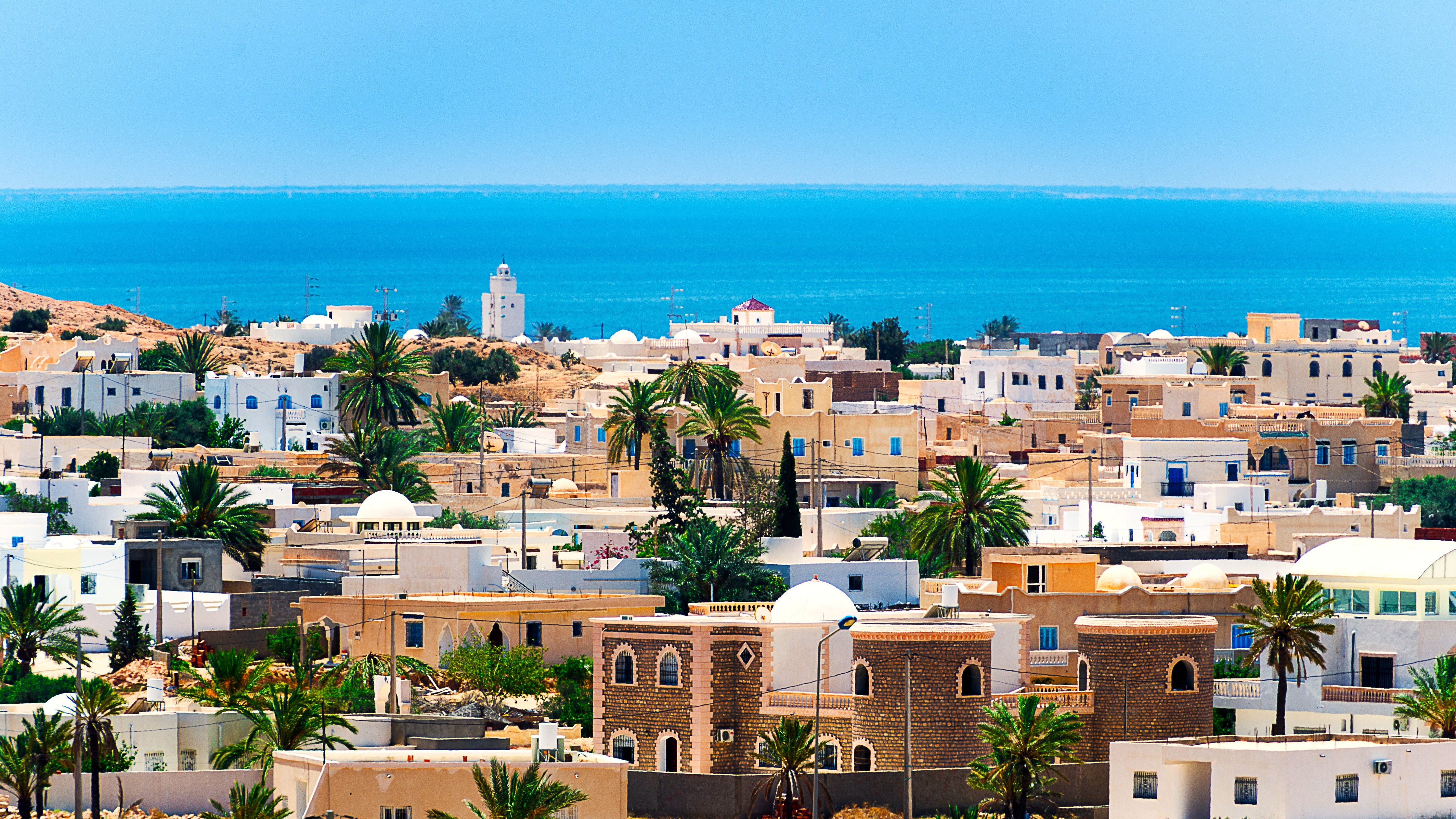
Djerba and South-East
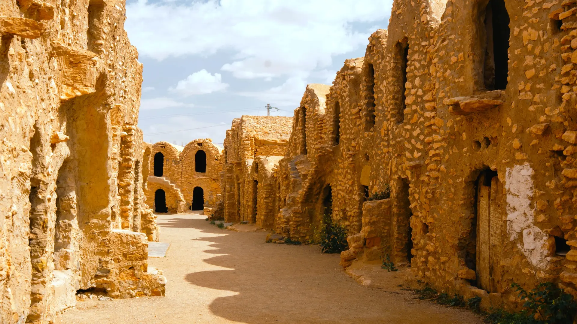
The island of Djerba, connected to the mainland by a Roman causeway, preserves its Berber and Jewish villages around the Ghriba synagogue, a millennia-old pilgrimage site. Houmt Souk, the capital, blends converted fondouks with a fish market. On the mainland, Matmata and its troglodyte houses, then the ksour of Tataouine, Chenini and Douiret, clinging to the Dahar ridges. Allow 6 hours' drive from Tunis, or a direct flight to Djerba-Zarzis. Temperatures rise quickly: 40°C in July, pleasant 18°C in February.
Sahara and Oases
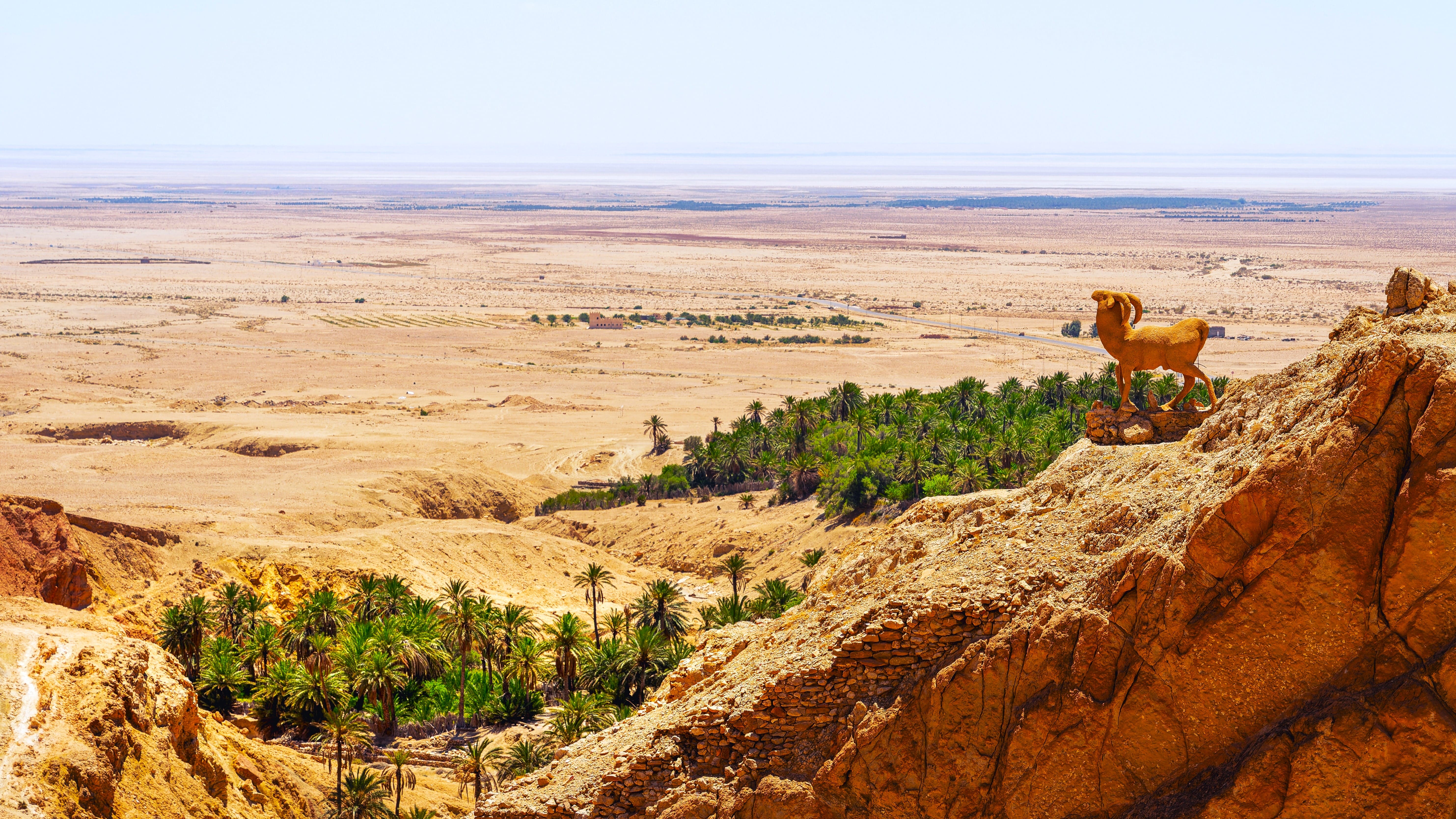
Tozeur and Nefta mark the entrance to the Grand Erg Oriental. The palm groves, irrigated by Ibn Chabbat's hydraulic system, feature more than 200 date varieties, including Deglet Nour harvested in November. Beyond, the Chott el-Jérid, a dried-up salt lake spanning 5,000 km², is crossed via a strikingly straight road. Douz remains the departure point for camel bivouacs heading to Ksar Ghilane and its hot springs. Best season from October to April, with cool morning temperatures around 8°C in January, never exceeding 25°C during the day.
Explore by theme
Unique experiences tailored to every traveler.
Culture & Heritage
Temples, musées, sites historiques
Nature & Landscapes
Parcs nationaux, montagnes, forêts
Sea & Beaches
Littoral, îles, sports nautiques
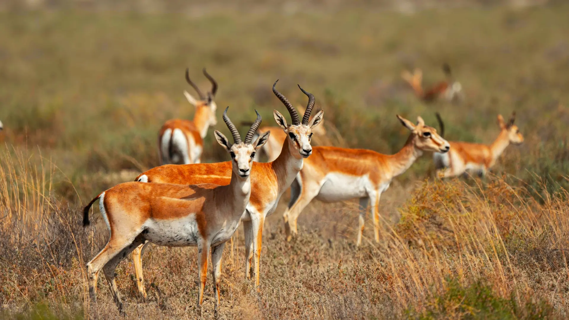
Wildlife & Biodiversity
Observation animale, sanctuaires, réserves
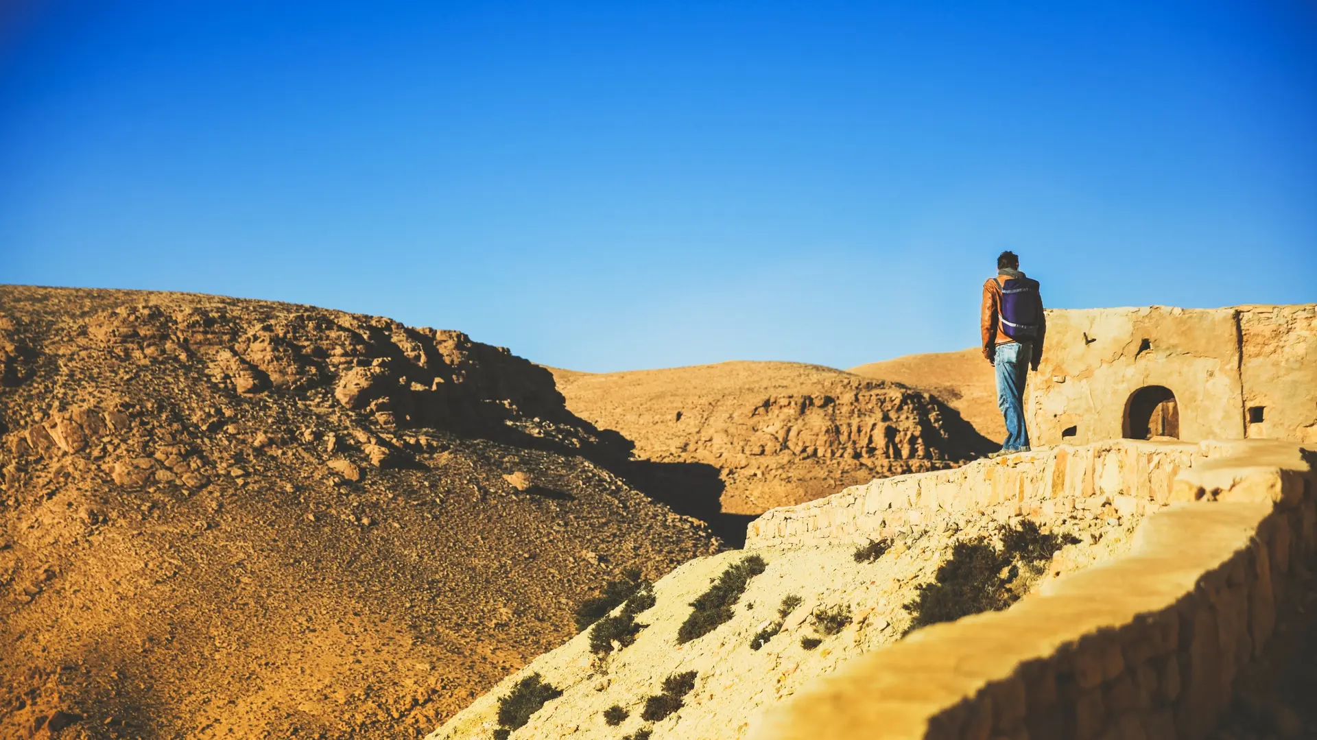
Activities & Adventure
Trek, kayak, escalade, sports outdoor
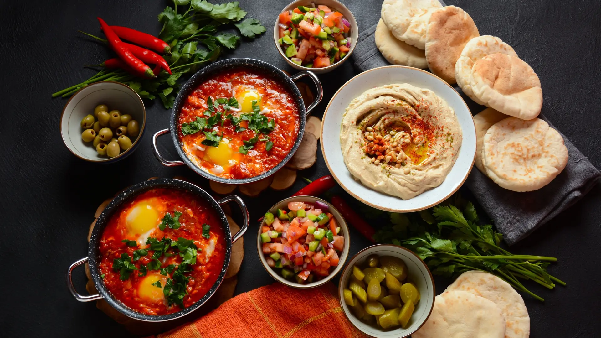
Gastronomy
Cuisine locale, marchés, cours de cuisine
We use cookies to improve your experience and measure our site's audience. You can choose what you accept. Learn more.